
A simple community map can help a group discuss access, buildings and local hazards. It should distinguish verified public information from assumptions. A map drawn before an incident cannot certify that a road, bridge or meeting place remains safe during it.
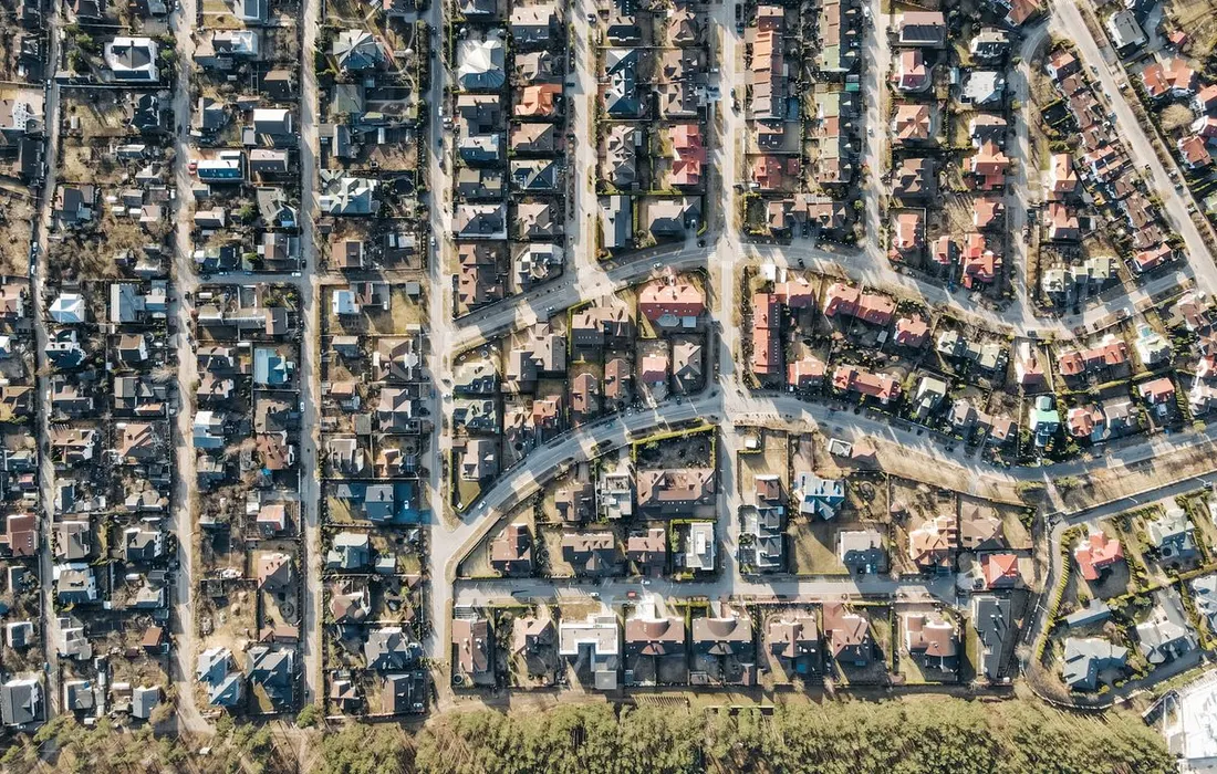
Use relevant official information
Start with public flood-risk and local authority information appropriate to the area, and ask the emergency planning contact about existing community resources. Mark useful public features such as established venues and access points only with accurate labels. Note where information is incomplete instead of filling the gap with an optimistic guess.
- Record the source and date of information.
Avoid exposing personal needs
A public map should not identify which residents use medical equipment, live alone or keep spare keys. Keep individual support arrangements private and consent-based. Ask venue owners before presenting a building as available for emergency use; its location on a map does not mean it is staffed, accessible or authorised to receive people.
- Separate planning ideas from confirmed arrangements.
Use the map as a discussion tool
Walk through a scenario with the group and local planning support: one road is unavailable and communications are limited. Identify questions that require professional or official answers. During an actual event, follow current closures and directions rather than the old map. Revise the map after changes to buildings, roads or confirmed community arrangements.
- Keep an accessible description for people who cannot use the map.
Reader comments
What has helped your household? Share practical experience or ask a question. No account or email needed.
Names are unverified. Comments are readers' views, not official advice. Please avoid personal details, medical instructions, promotions and conspiracy claims. Comment policy & privacy
Loading comments.
Leave a comment
Report a comment or request removal